
Products
Each product works on its own. When they share a server, maps and coordinates, the records from one incident appear on a single timeline.
Autonomy and unmanned
Drones that search and reconnoiter on their own, and their software
Command
Web tools for commanders, referees and organizers on a large screen
Field apps
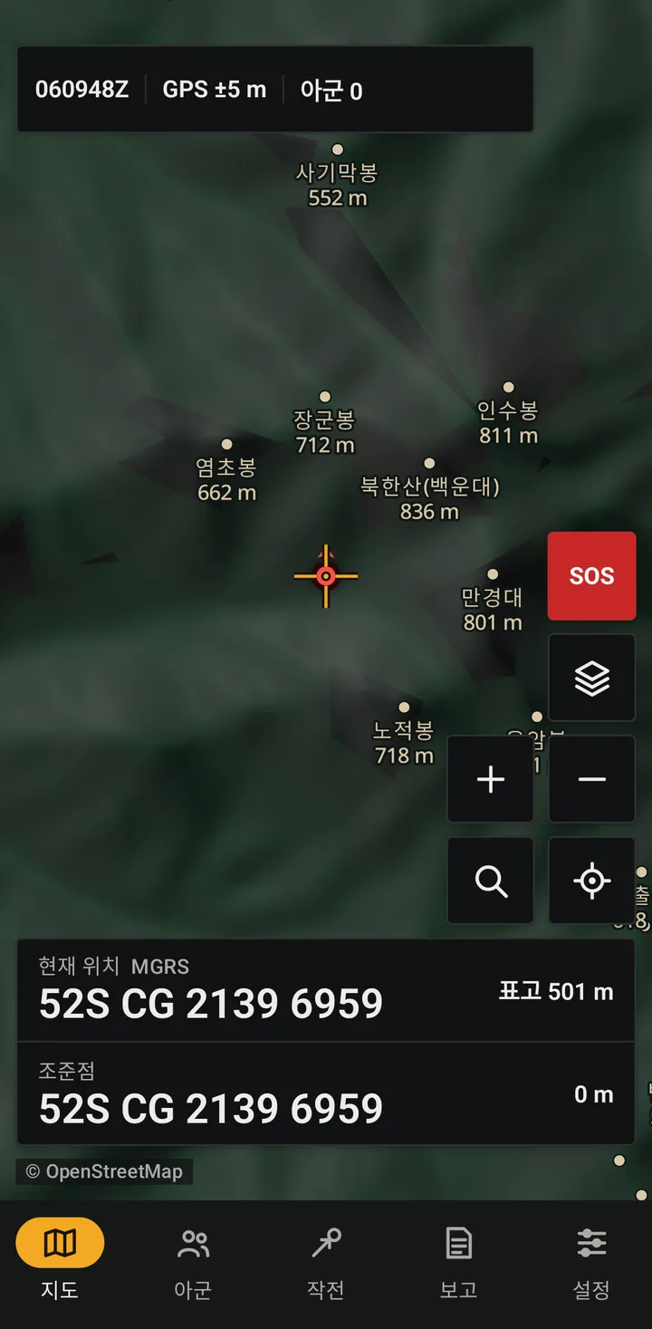
Tools for people in the field on phones and tablets
Data and integration
The server, maps and coordinates every product shares
Services
Work delivered under contract
Server deployment and operation
We install the team server in your environment (Korean cloud or your own servers) and run patching and backups.
- Installation and migration
- Certificates and invitations
- Retention and backup policy
Custom map production
Offline packs with your training area, venue or search boundaries. Other regions are built with the same pipeline.
- KML/GPX boundaries
- Hillshade and contours
- Delivered with a verification list
CoT and TAK integration
We connect existing equipment, sensors and systems over CoT. LoRa mesh is trialled only after confirming certified devices and Korean radio rules.
- CoT conversion and relay
- Sensor input as map marks
- LoRa mesh trials (after certification checks)