
Maps that still readwhen the link drops
Honey Badger Tactical designs and delivers tactical software for Korean terrain: field apps, command tools, servers and maps.
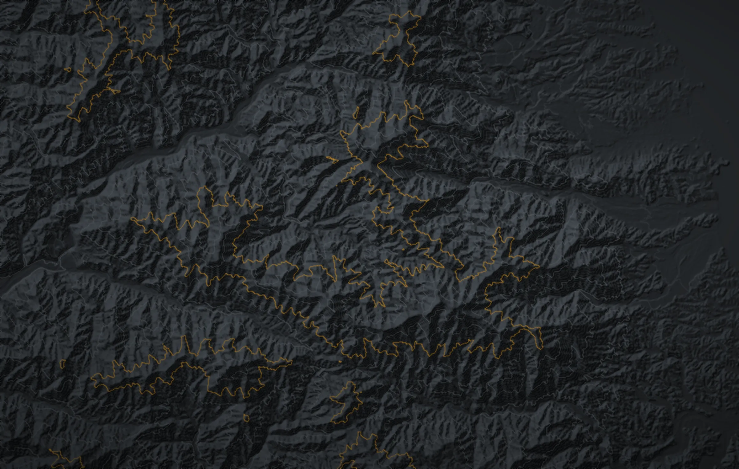
Seoraksan area, rendered from Copernicus GLO-30 terrain data
Field users need a correct grid, a map that stays up without a signal, and a report sent within thirty seconds. We test the software against each of these.
Honey Badger App
the Honey Badger App
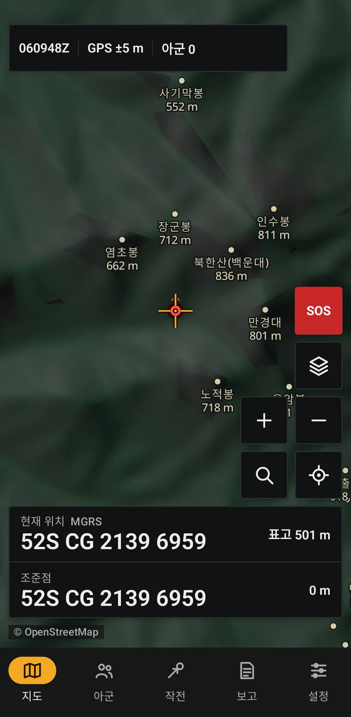
An independently developed situational awareness app for Android. It uses the CoT format, so it can interoperate with ATAK, WinTAK and iTAK users on the same TAK server. We have tested server integration with ATAK-format messages.
- Offline maps and terrain of the Korean peninsula (hillshade, contours, elevation)
- MGRS, Korean national grid and UTM-K; mils (6400); magnetic, grid and true north
- Team positions, team chat, emergency alerts, radio silence
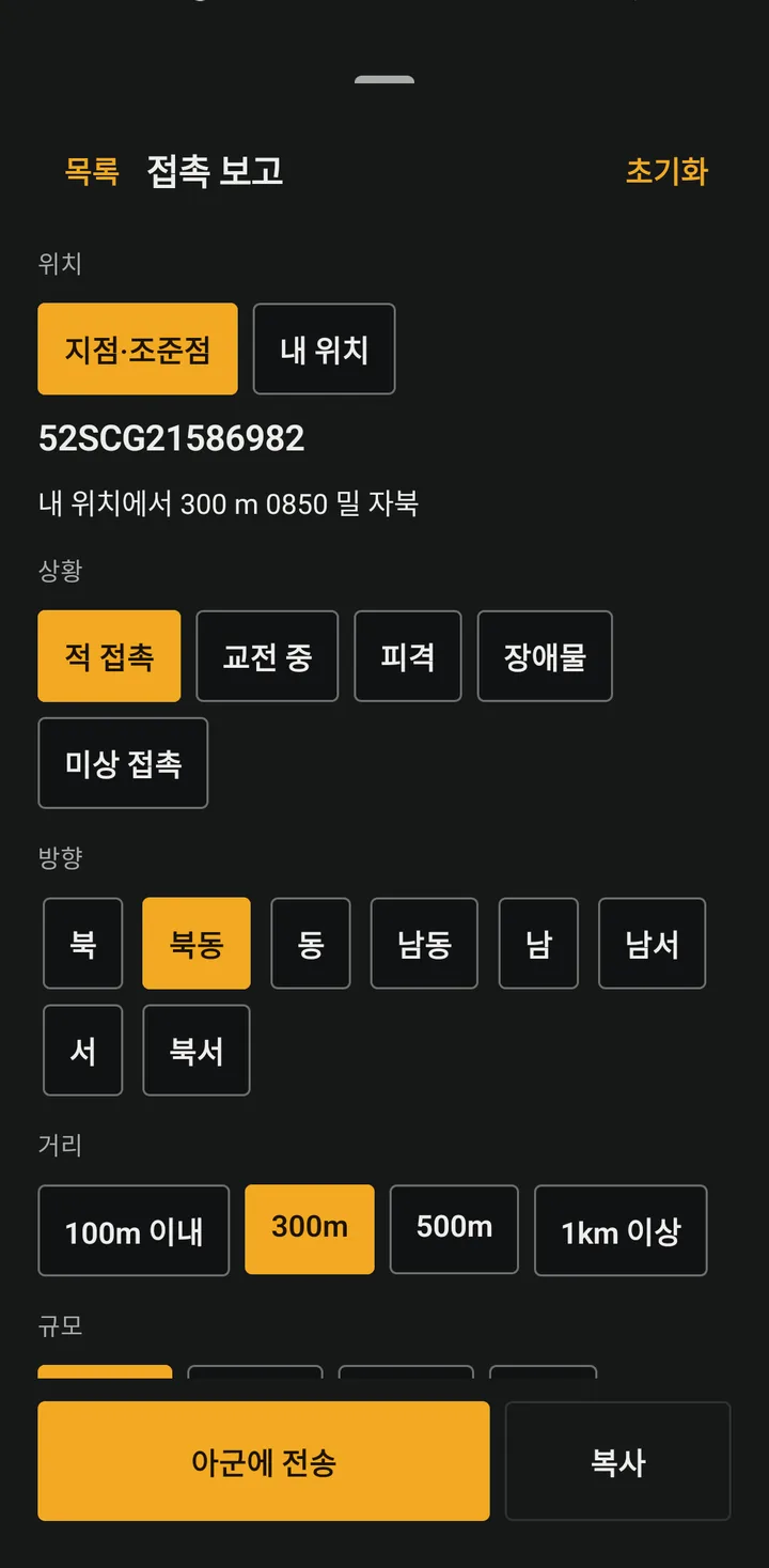
- Standard reports such as SALUTE and 9-line MEDEVAC, with position and DTG filled in
- Exercise control: zones, hits, respawns, captures, after-action replay
- unit tests run on every build
- 199
- products, from autonomy to data
- 14
- official WMM2025 test values matched
- 100
- to cut off a lost device
- 30 s
Products
Each product works on its own. When they share a server, maps and coordinates, the records from one incident appear on a single timeline.
Autonomy and unmanned
Drones that search and reconnoiter on their own, and their software
- SentinelA drone that searches an assigned area autonomously, without a pilot, and sends what it finds directly to the team picture.
- AutonomySentinel's autonomy software split into perception, planning and safety layers that other airframes can carry.
- Drone OpsPositions, tasks and detections from several drones on the same screen as the ground team.
- RelayHovers over a valley or disaster site with no coverage and relays the team's positions and messages.
Command
Web tools for commanders, referees and organizers on a large screen
- Incident BoardMoves incident command from whiteboards and radio notes onto one tablet screen, with every action time-stamped.
- Search PlannerSplit a search area on the Korean national grid, print assignment sheets per team, and collect progress and clues on one map.
- RangeRegistration, scenario design, live control and after-action review for an event, in one place.
Field apps
Tools for people in the field on phones and tablets
Data and integration
The server, maps and coordinates every product shares
- ServerA team server package installed in one step, with QR enrollment and immediate cut-off for lost devices.
- Map DepotOffline maps and terrain built from open data by region, then verified and served. Custom packs can include your own areas.
- Coords SDKKorean national grid, UTM-K and MGRS conversion for other systems, with the same engine as the app.
Our fields and comparable products
We work in the same fields as large defense companies, at the scale and pace that Korean field units need.
Autonomous search and recon drone
Sentinel
Korean mountain terrain data and national grid built in; detections go straight to the team server
Notable examples abroad: Shield AI V-BAT and Nova, Skydio X10D
Autonomy software
Autonomy
Integrated for Korean airframe makers, built on open-source software licensed for commercial use
Notable examples abroad: Shield AI Hivemind, Auterion
Tactical awareness app
Honey Badger App
Korean language, Korean coordinates, offline peninsula terrain, CoT format
Notable examples abroad: ATAK, iTAK, commercial TAK apps
Team server
Server
Hosted in Korea, QR enrollment, lost devices cut off in 30 s
Notable examples abroad: TAK Server, commercial TAK hosting
Command and control
Range, Incident Board, Search Planner
Starts small for each user group and grows on the same server, maps and coordinates
Notable examples abroad: Anduril Lattice, Palantir (large C2), Tablet Command (fire), CalTopo (search)
Drone operations
Drone Ops
Drones and ground teams on one picture, with Korean grid references
Notable examples abroad: DroneSense, Skydio Remote Ops
Communications relay
Relay
Works with the priority sending used for team position sharing
Notable examples abroad: Elistair (tethered drones)
| Field | Honey Badger | Notable examples abroad | Our approach |
|---|---|---|---|
| Autonomous search and recon drone | Sentinel | Shield AI V-BAT and Nova, Skydio X10D | Korean mountain terrain data and national grid built in; detections go straight to the team server |
| Autonomy software | Autonomy | Shield AI Hivemind, Auterion | Integrated for Korean airframe makers, built on open-source software licensed for commercial use |
| Tactical awareness app | Honey Badger App | ATAK, iTAK, commercial TAK apps | Korean language, Korean coordinates, offline peninsula terrain, CoT format |
| Team server | Server | TAK Server, commercial TAK hosting | Hosted in Korea, QR enrollment, lost devices cut off in 30 s |
| Command and control | Range, Incident Board, Search Planner | Anduril Lattice, Palantir (large C2), Tablet Command (fire), CalTopo (search) | Starts small for each user group and grows on the same server, maps and coordinates |
| Drone operations | Drone Ops | DroneSense, Skydio Remote Ops | Drones and ground teams on one picture, with Korean grid references |
| Communications relay | Relay | Elistair (tethered drones) | Works with the priority sending used for team position sharing |
Product names are trademarks of their owners. This comparison of fields is based on public information.
How delivery works
We start with a small field pilot, configure the system to your requirements and then support it in operation.
- 01
Requirements
Operating environment, number of users, security conditions and existing equipment.
- 02
Pilot setup
A small server and app setup tested in the field.
- 03
Custom work
Report forms, map coverage and managed settings adapted to your organization.
- 04
Support
Security patch tracking, map updates and incident support under the contract.
Looking for pilot partners
We are seeking airsoft and milsim teams, training organizations and public-sector field units to run pilots with us.